Skip to content

Race packets at Rendezvous Pointe, 425 E Magnolia

Tonight 5:00–7:00 p.m. · Saturday 7:00–8:30 a.m. · Race packets at Rendezvous Pointe, 425 E Magnolia

Saturday start times
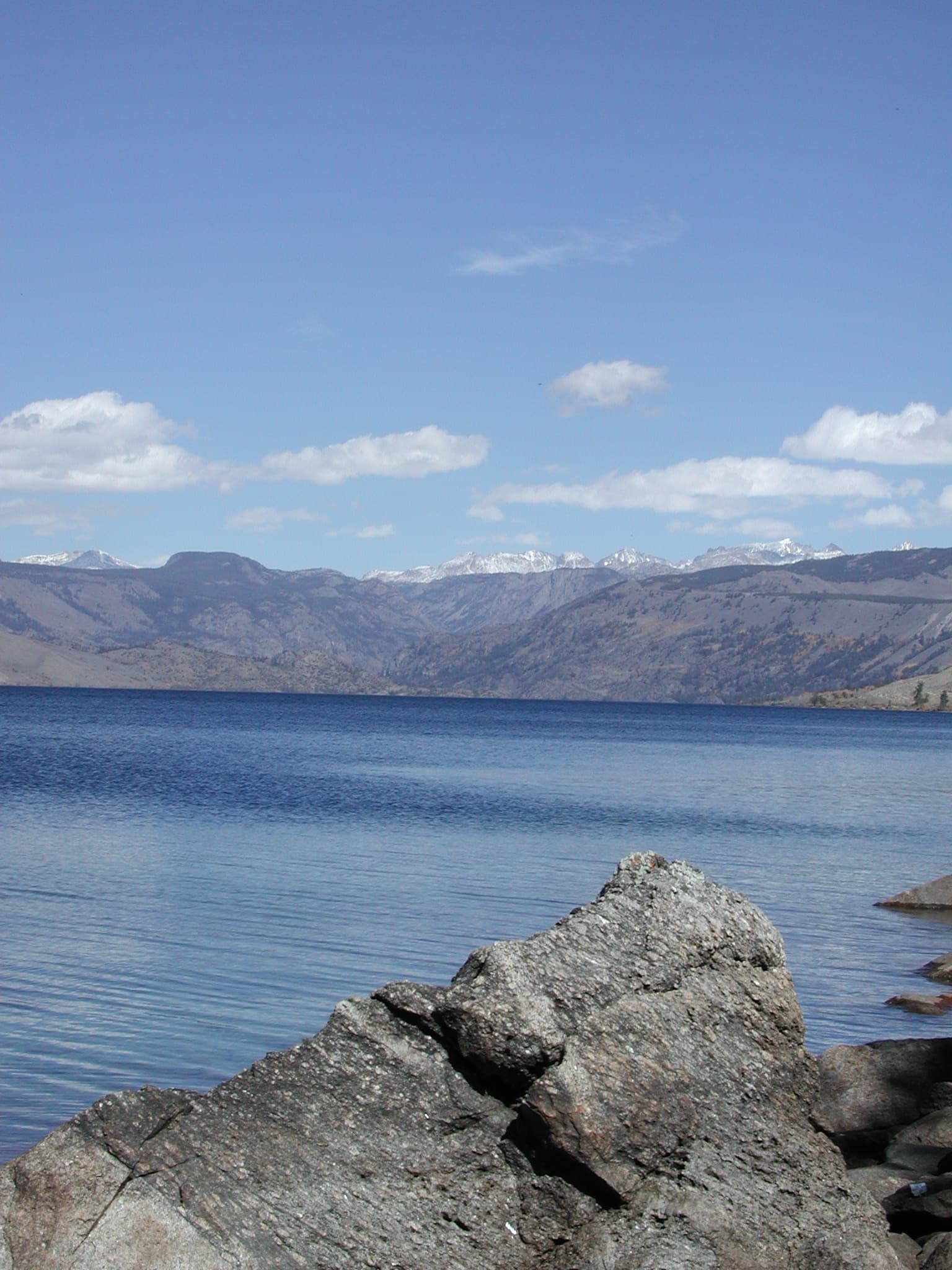
Fremont Lake, Pinedale Ranger District. Forest Service photo by Mike Balen.

Outdoors

The Winds start seven miles from Pine Street.

Open ski areas, current campground pages, live museum hours, and ranger-district phone numbers confirmed for 2026.

Field notes

Open now

Aspen season. Ski listings wait on the Winter filter until the lifts run. Call the Pinedale Ranger District at 307-367-4326 before a Wind River trip. If you landed this morning, sleep a night first. Density altitude at the field is about 7,912 feet.

  1. 01Fremont LakeYear-round
  2. 02Wind River RangeSummer
  3. 03Fishing & ice fishingYear-round
  4. 04Rendezvous Meadows Golf CourseSummer
  5. 05Museum of the Mountain ManYear-round
  6. 06Pinedale Aquatic CenterYear-round

6 notes · Open now

6 guides shown for Open now.

Fremont Lake, Pinedale Ranger District, Bridger-Teton National Forest. Forest Service photo by Mike Balen.

01 · Year-round

Year-round

Fremont Lake

Watercraft up to 35 feet launch from the Lower Boat Dock when depths are normal. Sandy Beach is the family swim and paddle spot; dogs are not allowed there. Fremont Lake Campground on the east shore typically runs late May through early September. Ice fishing and the Big Fish Ice Derby take over in winter.

  • Fremont Lake CampgroundBridger-Teton National Forest307-367-4326
Official source
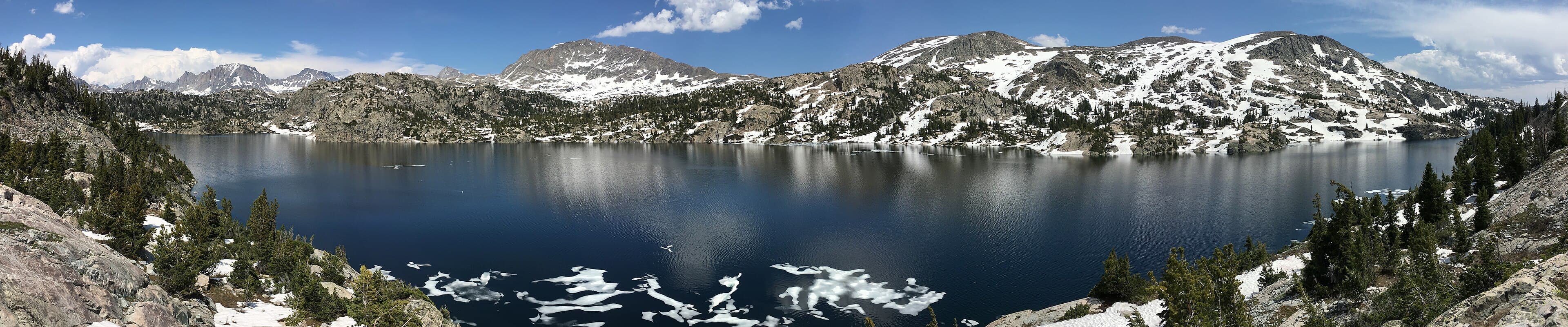
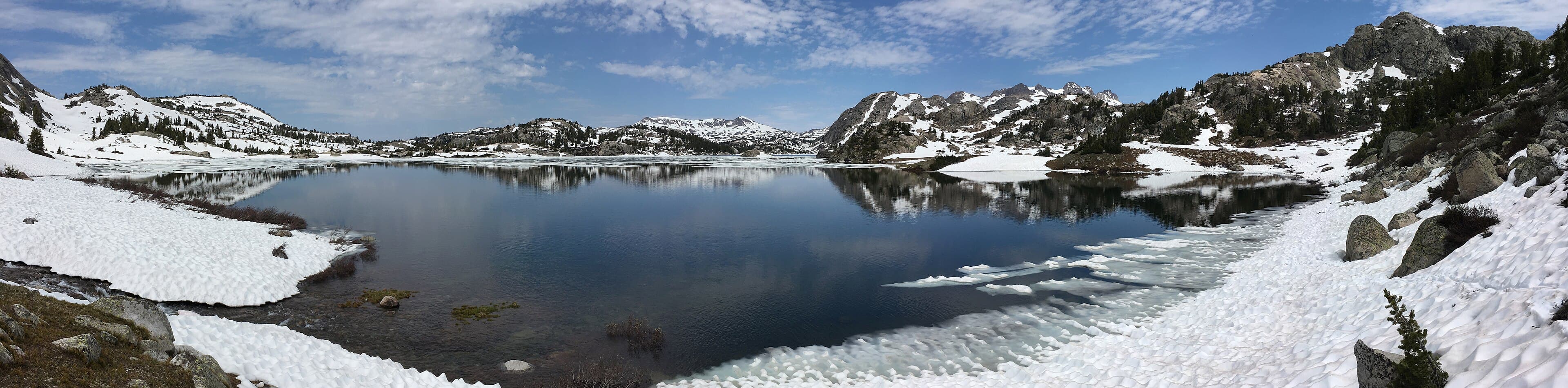
Island Lake in the Wind River Range, July 2017. GPS on the lake, about ten miles from Elkhart Park above Pinedale. Photo by Fredlyfish4.

02 · Summer

Summer

Wind River Range

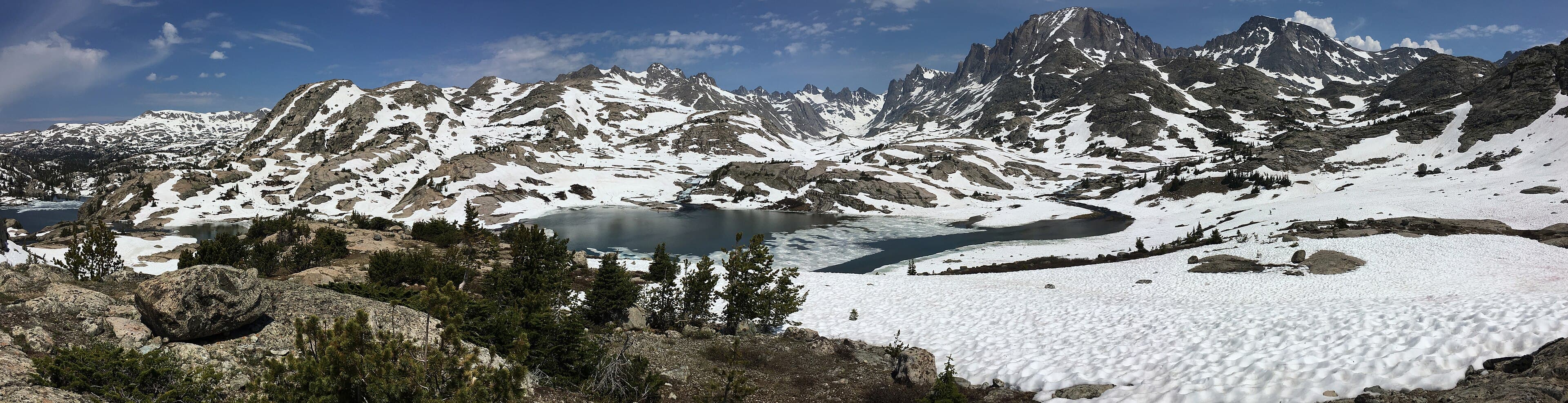
Island Lake is about 10 miles from Elkhart Park and is often done as an overnight with a stop at Seneca Lake. Overnight trips need a free self-issued wilderness permit. Campfires are not allowed above timberline, and camps must sit at least 200 feet from lakes and trails. Call the Pinedale Ranger District before you go; snow can linger into July.

  • Pinedale Ranger DistrictTrail conditions and wilderness permits307-367-4326
Official source
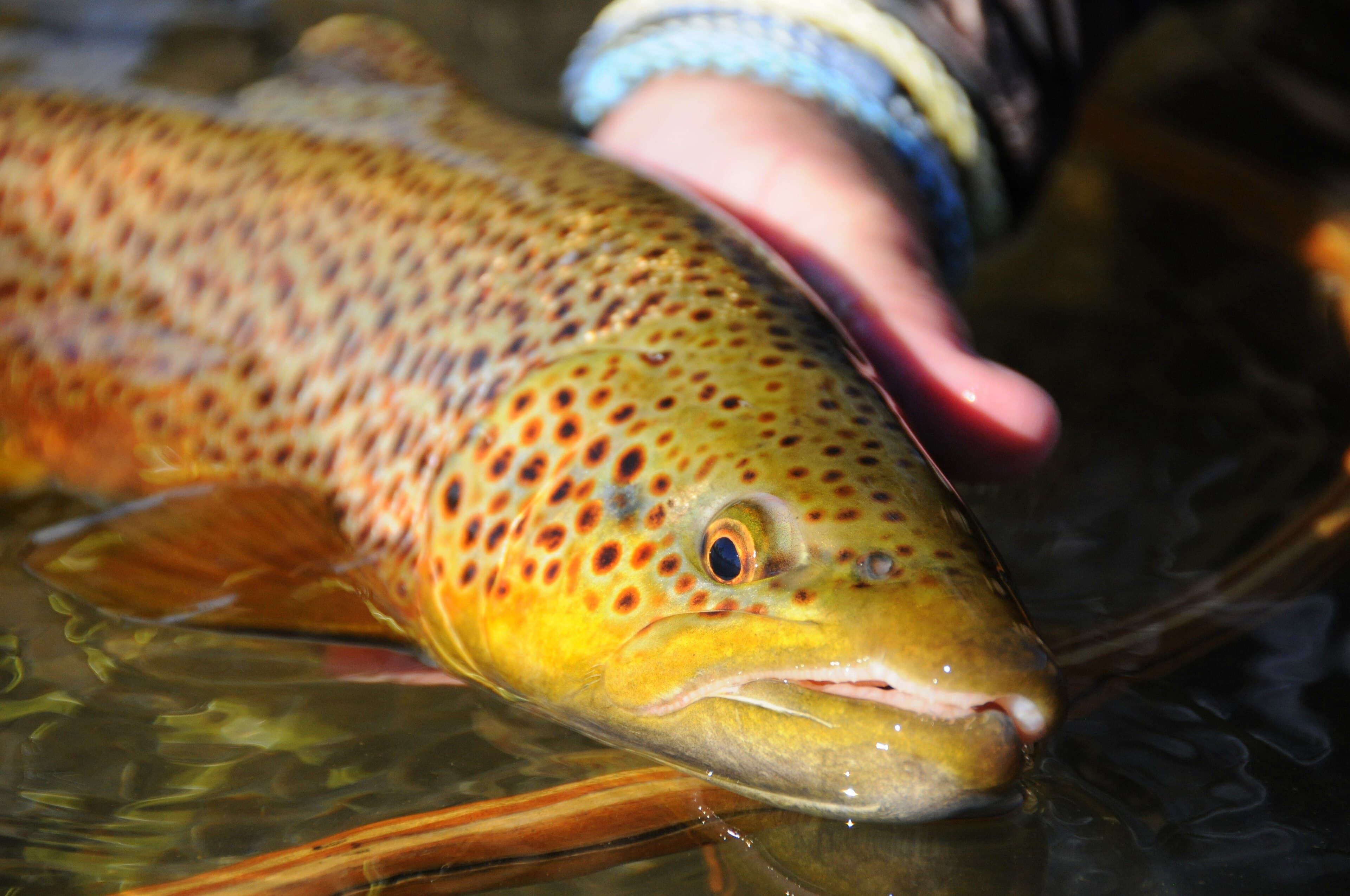
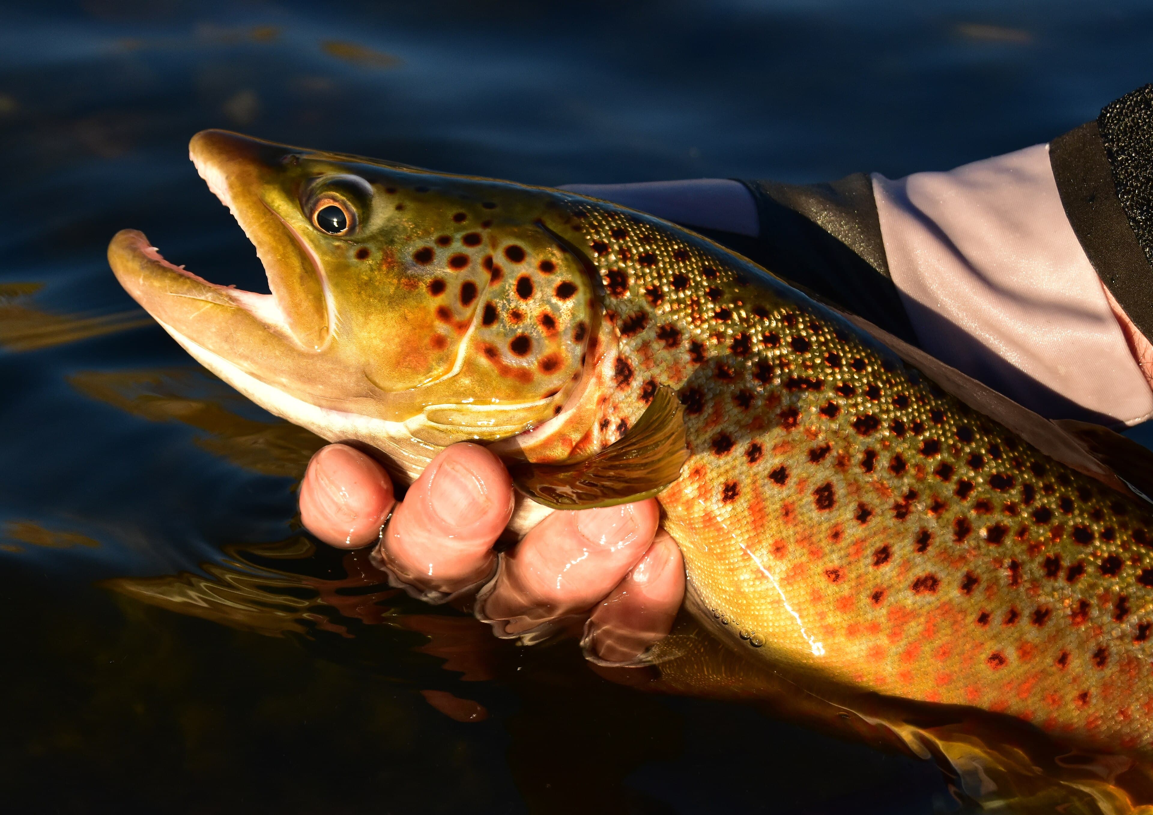
A colored-up brown trout in the Green River at Seedskadee National Wildlife Refuge, October 2018. Photo by Tom Koerner, U.S. Fish and Wildlife Service.

05 · Year-round

Year-round

Fishing & ice fishing

A Wyoming fishing license is required. The Pinedale Game and Fish office handles licenses and current regulations. Live New Fork, Pine Creek, Green River, and East Fork flows sit on the river desk. Fremont Lake supports summer derbies and a winter ice derby hosted by the Pinedale Boat Club. High-lake fishing is a wilderness trip, not a roadside outing. The brown trout and river plates are from Seedskadee National Wildlife Refuge, on the Green River south of town.

  • Wyoming Game and Fish, Pinedale RegionLicenses and regulations307-367-4353
Official source
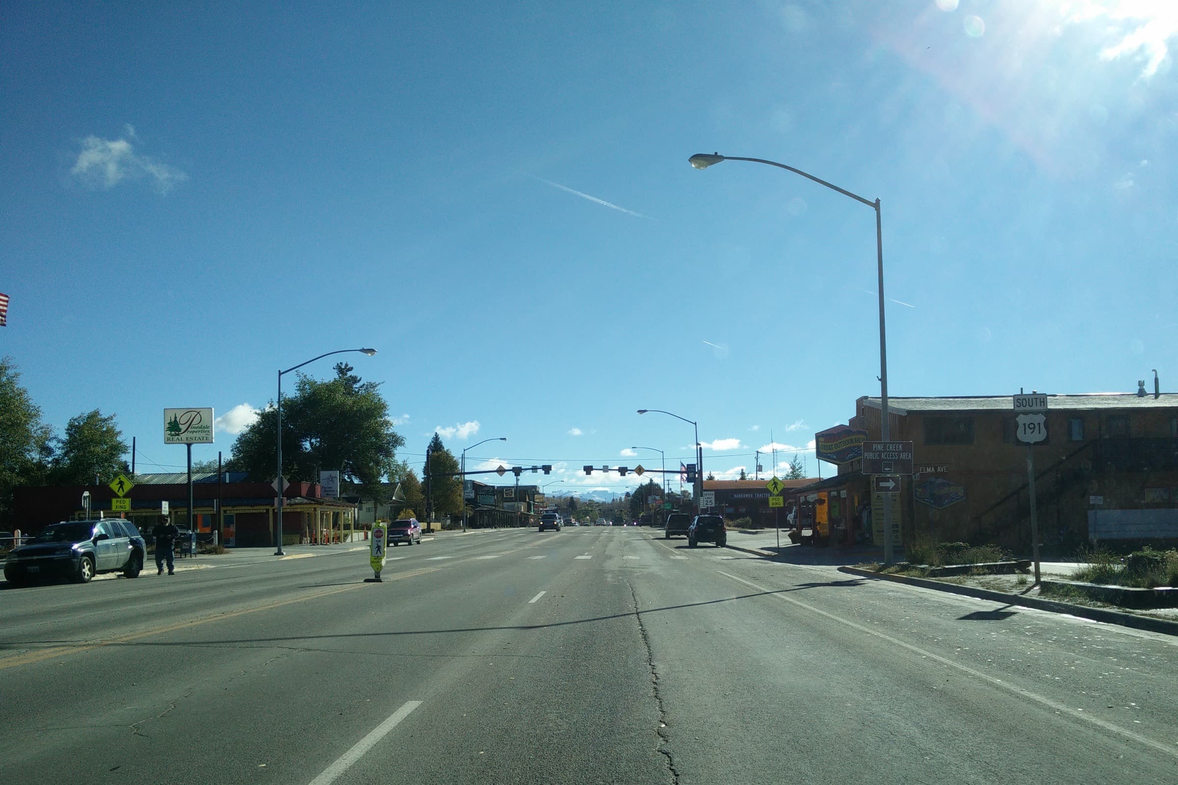
Driving into Pinedale from the west on US 191. Rendezvous Meadows Golf Course sits on this west end of town.

06 · Summer

Summer

Rendezvous Meadows Golf Course

Book tee times by phone or at golfpinedale.com. Summer hours stretch 7 a.m. to 8 p.m. from Memorial Day through Labor Day. Frost delays are common in spring and fall. In winter the course grooms walking and ski trails when snow allows.

  • Rendezvous Meadows Golf CoursePro shop and tee times307-367-4252
Official source
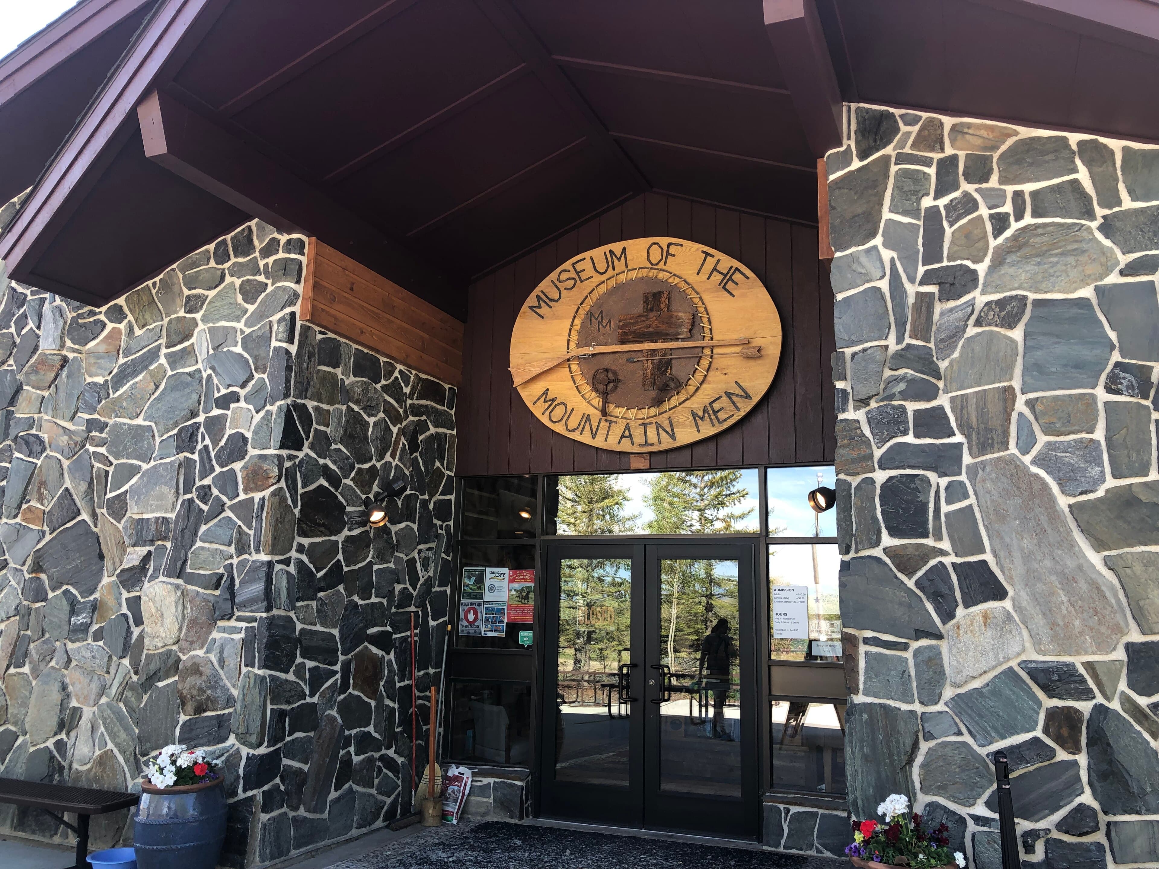
Museum of the Mountain Man, 700 E. Hennick, Pinedale. Photo by Craig Talbert, June 2021.

07 · Year-round

Year-round

Museum of the Mountain Man

Summer hours run May 1 through October 31, 9 a.m. to 5 p.m. daily. Winter visits are by advance appointment. Admission is $10 for ages 13 and up, $8 for seniors and veterans, and free for children 12 and under. The 2026-27 featured exhibit is Confluence of Cultures: 87 works by 45 artists.

  • Museum of the Mountain ManSublette County Historical Society307-367-4101
Official source
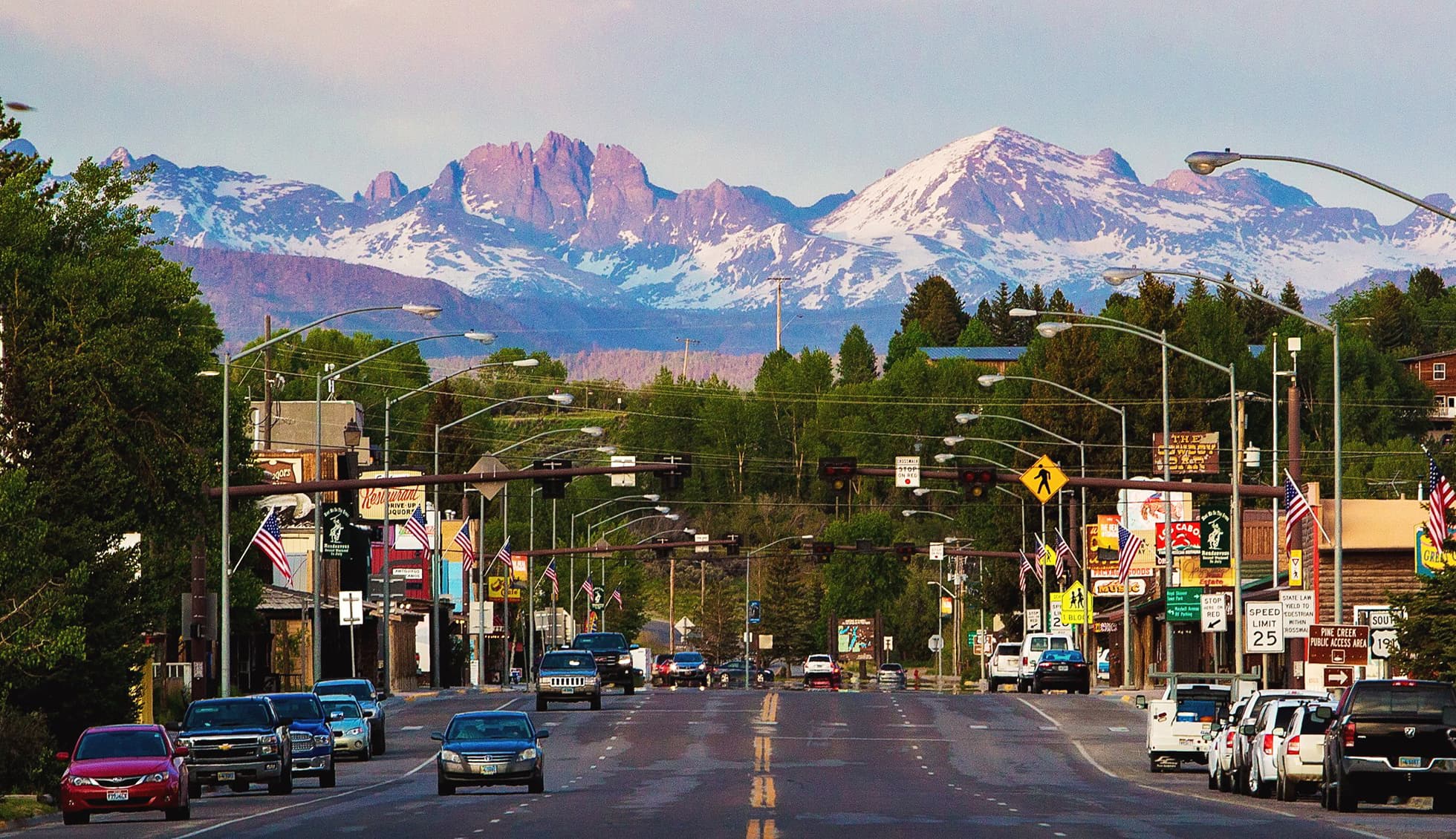
Pine Street looking east through downtown Pinedale. The aquatic center is a few blocks north on Tyler Avenue.

08 · Year-round

Year-round

Pinedale Aquatic Center

The building is open Monday-Friday 5 a.m.-8 p.m. and Saturday 10 a.m.-4 p.m. It is closed Sunday. Leisure and competition pool hours are shorter and can change for lessons or meets. Climbing wall hours are Monday-Friday 4-6 p.m. and Saturday 12-4 p.m.

Official source

USGS · Sublette County

What the creeks are doing

Live flow, gage height, and water temperature from wy-water on top of the USGS instantaneous service. Scan tonight's board, click a sensor on the map, then walk the corridor upstream toward the lakes or down toward Big Piney.

As of Fri, Sep 18, 10:27 AM Mountain Time. 13 live, 3 quiet, 16 public gages. Values are USGS provisional. A cubic foot per second is about 7.5 gallons every second — not a wading depth.

Same desk on Weather

Last 24 hours

What is moving

Largest rises and falls versus that same sensor yesterday. The week mark is that gage's seven-day flow shape. Click a row for the 24-hour hydrograph. Not a ranking of rivers.

Rising

Falling

No swing over half a cfs.

Tonight

Every gage in one pass

Live cubic feet per second, the week's flow shape, then the 24-hour change on that same sensor. Click a row for the 24-hour hydrograph.

Sensor map

Where the gages sit

Dots are USGS coordinates. Size is live flow against the largest live gage on this map — volume, not a wading depth. Thin lines join gages on the same river in catalog order, headwaters toward the valley — not a surveyed channel.

NNew Fork at townNew Fork at Big Piney
  • Green River
  • New Fork
  • Pine Creek
  • Willow & Duck
  • Boulder Creek
  • East Fork

Upstream → downstream

New Fork corridor

Same river, in order. Bar length is tonight's live flow against the largest live gage here — not how wadable the water is.

New Fork River

New Fork at town

New Fork at town. 15.1 cfs.

The New Fork on the west edge of town, just before Pine Creek joins. Last USGS ping Fri, Sep 18, 9:00 AM.

Flow
15.1cfs
Gage
18.51ft
Water
°F
Oxygen
None

Up 2.8 cfs since yesterday

About steady over the last six hours

About 113 gallons passing every second.

This week on this gage

Near the high for this week on this gage

Low 11.7 cfsNow 15.1 cfsHigh 16.7 cfs

On this river

Compare

Walk this river

The gage you leave stays as the dashed overlay. [ and ] do the same when the graph is focused.

Flow

15.1cfs

New Fork at Big Piney 317 cfs

302 cfs below New Fork at Big Piney at this hour

2.8 cfs above the same hour yesterday

Fri, Sep 18, 9:00 AM

11.1169326HighLowYdaySatSunMonTueWedThuFri

Drag across the line, click a day, or use the arrow keys. Download CSV is this window, USGS provisional. The dashed sage line is the compare gage on the same scale.

Keys and clicks
  • Arrows, Home, and End scrub. Play walks the same points.
  • Click the plot — not a drag — to pin that hour. P pins, Escape clears.
  • Last night, or N, opens the day view, pins 8pm Mountain, and jumps to now.
  • 1 and 7 switch the window. F, G, T, and O switch the metric.
  • Y hides yesterday on the day view.
  • [ and ] walk this river. The gage you leave stays as the dashed overlay.
  • Night, High, Low, Yday, and day marks jump the scrubber.
  • Copy link keeps a pin as :p… UTC, or :night after Last night. CSV is USGS provisional; a pin adds a vs_pin column.

High Mon, Sep 14, 2:15 PM. Low Thu, Sep 17, 5:00 AM. Both marks are this gage, this week only.

USGS 09196000

Field school

Learn the instruments before you trust a screenshot

Cubic feet per second is volume, not depth. One cubic foot of water is about 7.5 gallons. Right now 15.1 cfs means about 113 gallons pass this sensor every second.

Green River

The river below the lakes

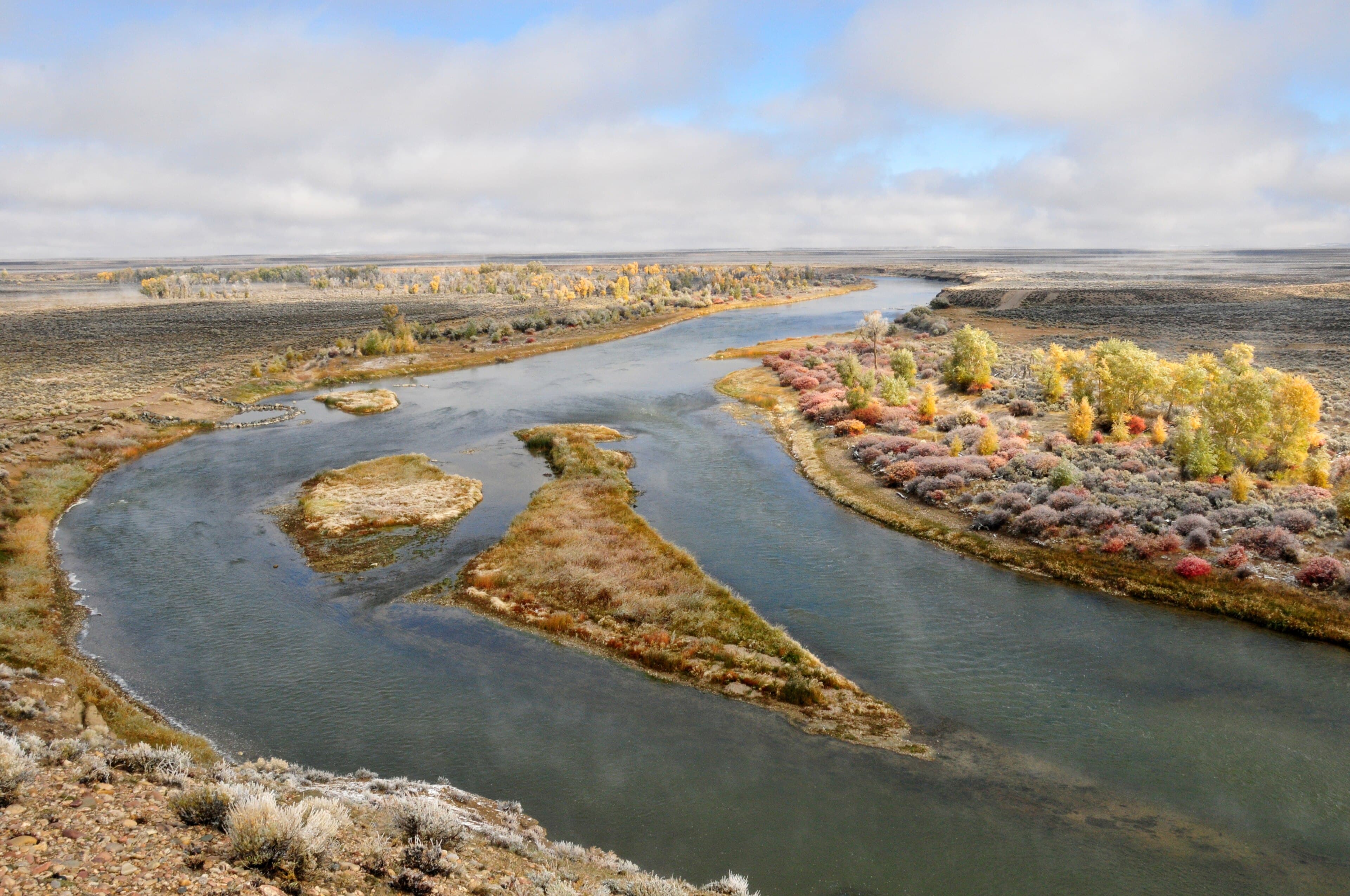
The Green starts at Green River Lakes above Cora. These plates are farther south at Seedskadee National Wildlife Refuge: a fall brown and the river at Horseshoe Bend.

  • Catch-and-release of a brown trout at Seedskadee National Wildlife Refuge, September 2019. Photo by Tom Koerner, U.S. Fish and Wildlife Service.
    Brown trout, ready for release
  • The Green River at Horseshoe Bend on Seedskadee National Wildlife Refuge, October 2013. Photo by Tom Koerner, U.S. Fish and Wildlife Service.
    Green River at Horseshoe Bend

Elkhart Park to Titcomb

Skyline Drive to Titcomb Basin

Island Lake, Seneca Lake, Photographers Point, and Titcomb Basin sit at the end of Skyline Drive from Pinedale.

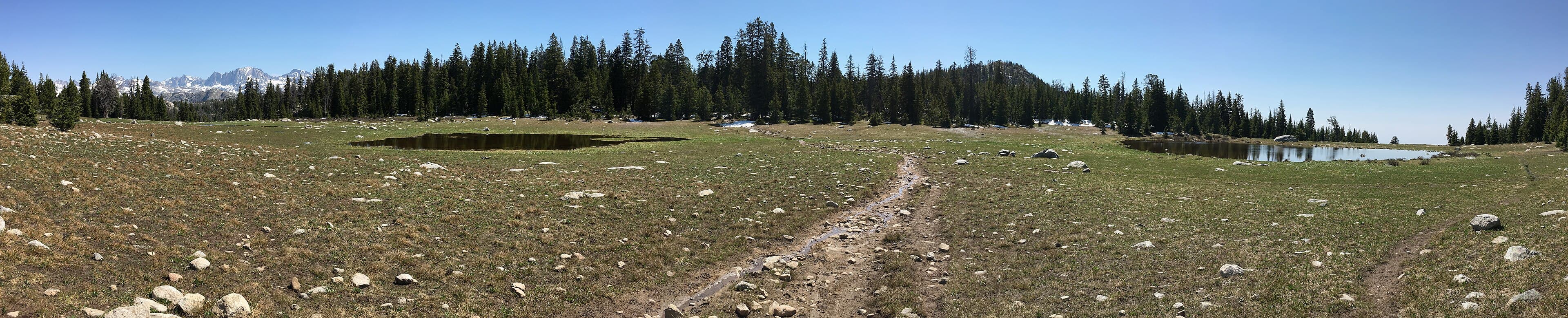
  • Trail toward Photographers Point from Elkhart Park, Wind River Range, July 2017. Photo by Fredlyfish4.
    Toward Photographers Point
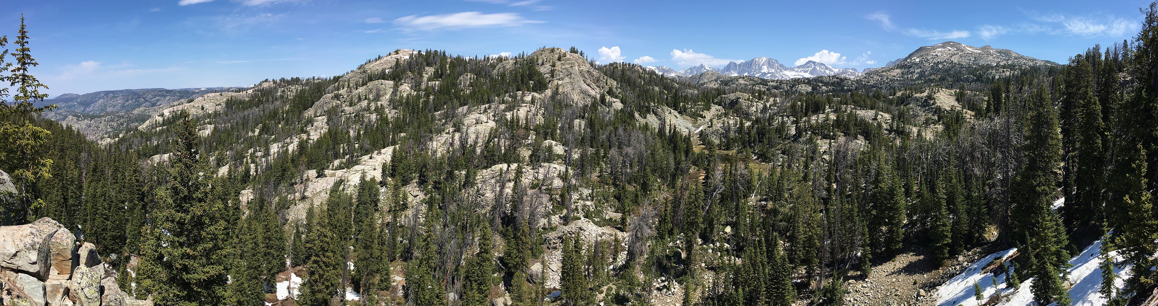
  • Overlook on the Pole Creek trail at Photographers Point, July 2017. GPS at the mapped viewpoint. Photo by Fredlyfish4.
    Photographers Point
  • Seneca Lake in the Wind River Range, July 2017. Overnight stop on the way to Island Lake from Elkhart Park. Photo by Fredlyfish4.
    Seneca Lake
  • Island Lake in the Wind River Range, July 2017. About ten miles from Elkhart Park above Pinedale. Photo by Fredlyfish4.
    Island Lake
  • Fremont Peak and Titcomb Basin, July 2017. GPS in the basin beyond Island Lake. Photo by Fredlyfish4.
    Titcomb Basin
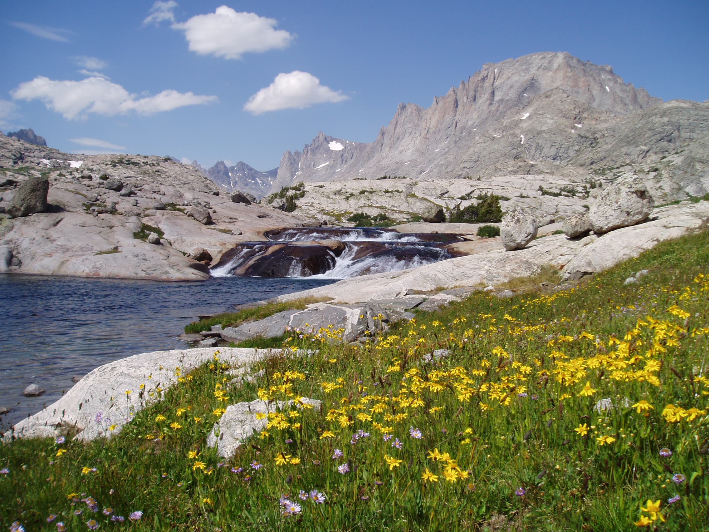
  • Wildflowers in Titcomb Basin, Bridger Wilderness, Pinedale Ranger District, July 2006. Forest Service photo by Doug Wewer.
    Titcomb Basin wildflowers