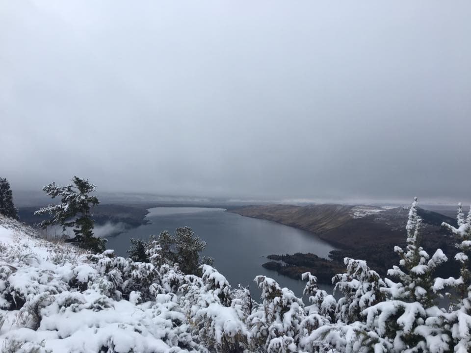
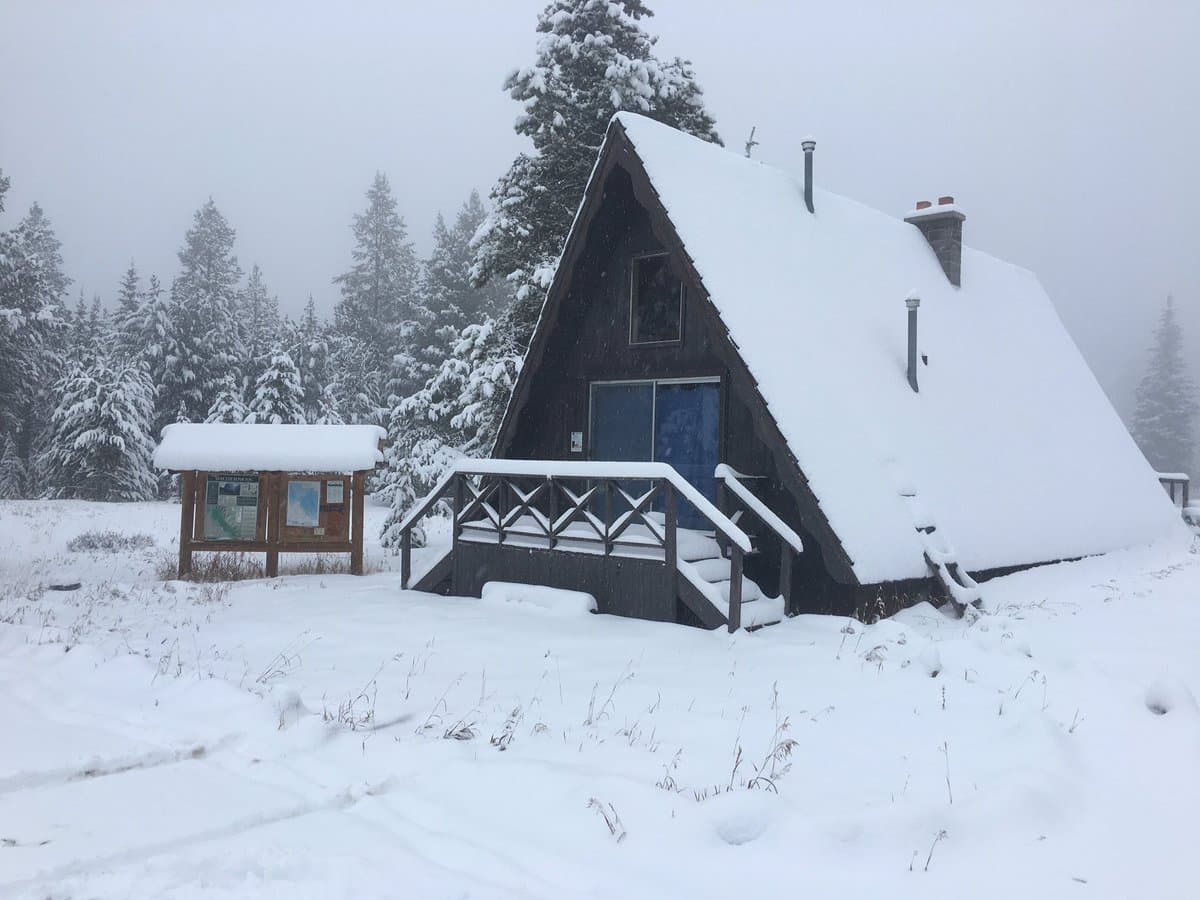
Saturday race light
First light before the half
Half marathon 8:30 a.m., 10K buses 8:30, 10K 9:30 from the Overlook. Overnight low 33°F.
Tonight 5:00–7:00 p.m. · Saturday 7:00–8:30 a.m. · Race packets at Rendezvous Pointe, 425 E Magnolia
Weather
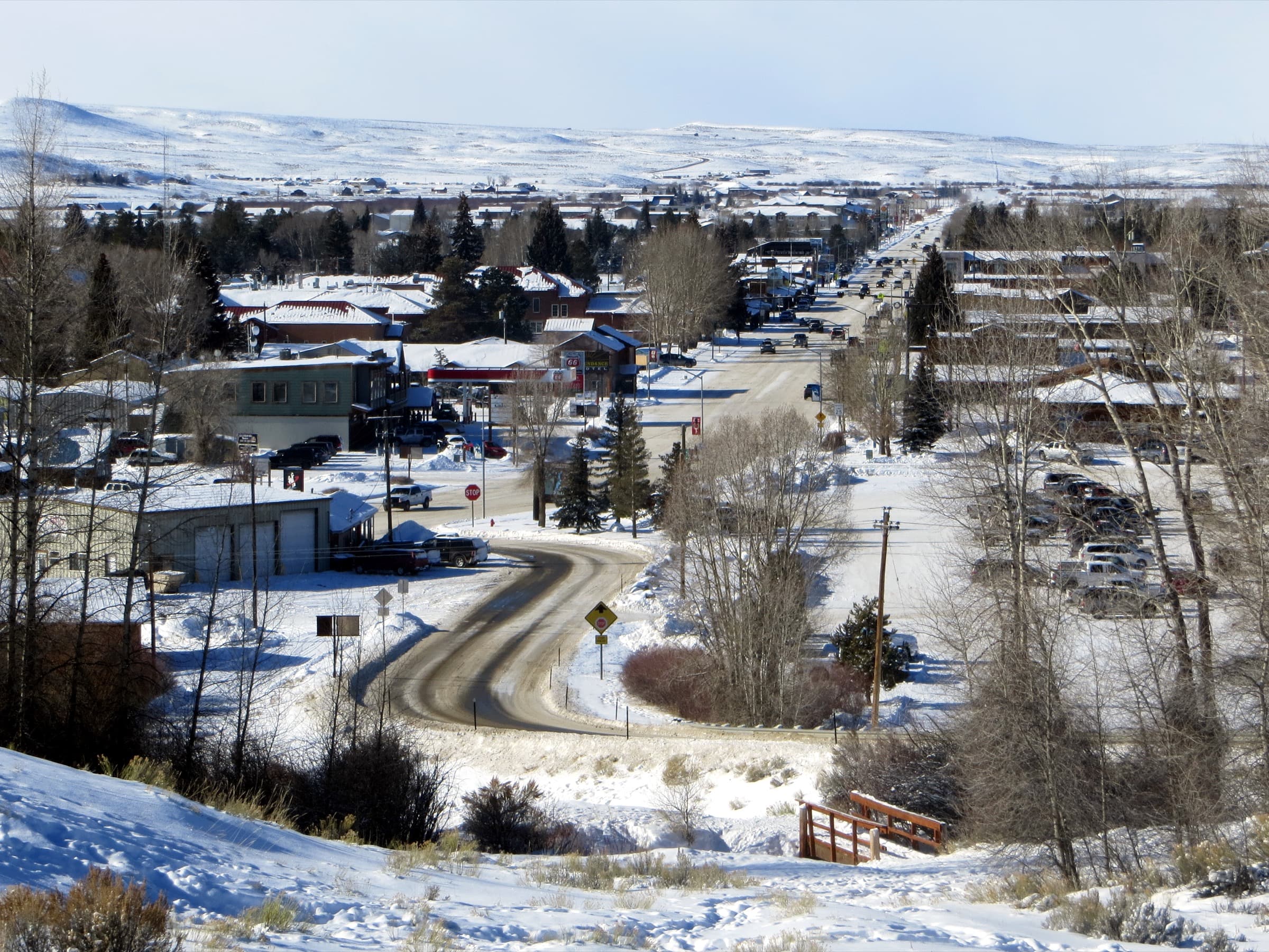
Forecast at the town coordinates. River flow is the USGS desk below. For passes and ice, use Wyoming 511.
Station
7,182 ft · 42.8661°N 109.8647°W · As of Fri, Sep 18, 10:31 AM
Thunderstorms Town forecast is Pine Street. The field is 6 miles southeast.
Pinedale sits at 7,182 feet. Drink water, expect nights near freezing well into September, and treat any overnight low at or below 32°F as a hard freeze for campers.
Tonight over town
First quarter is behind the cloud. Use the road forecast tonight.
Saturday race light
Half marathon 8:30 a.m., 10K buses 8:30, 10K 9:30 from the Overlook. Overnight low 33°F.
Today
Friday, September 18, 2026
SkyThunderstorms
High / low66°39°
Precip76%
Sunrise / set7:02 AM7:24 PM
Next 6 days
Sat · Race
Sep 19
60°
33°
Thunderstorms
57% precip
Sun
Sep 20
61°
34°
Thunderstorms
5% precip
Mon
Sep 21
66°
38°
Clear
1% precip
Tue
Sep 22
68°
39°
Partly cloudy
28% precip
Wed
Sep 23
69°
38°
Clear
11% precip
Thu
Sep 24
70°
39°
Partly cloudy
10% precip
Overhead
Right now
over Asia or the western Pacific
34.9°, 100.6° · 419 km up
Next look from town
Nothing bright in the next 90 minutes
KPNA AWOS-3 · 118.325
Aviation Weather Center METARs, refetched about every five minutes. This is not a takeoff card. Call 307-367-6425 for the recording.
Town versus the field
Pine Street is 52°F. KPNA is 54°F. The town chip is not the takeoff number.
KPNA
VFR54°F
SCT · 10+ SM · 0 kt @ 0° · 30.32 inHg
Fri, Sep 18, 10:15 AM
KJAC
—No usable METAR.
KPNA observation is 16 min old.
Density altitude is 827 feet above the published 7,085-foot field. Estimate only. Temperature-dewpoint spread is 5°F. Relative humidity is about 82 percent from the Magnus formula — estimate only.
METAR KPNA 181615Z AUTO 00000KT 10SM SCT120 12/09 A3032 RMK AO2 LTG DSNT W
Terminal forecast
This is the forecast string, not a takeoff card. PROB30 is a probability, not a promise.
KPNA
Fri, Sep 18, 6:00 AM – Sat, Sep 19, 6:00 AM Mountain
TAF KPNA 181121Z 1812/1912 30005KT P6SM VCSH BKN100 FM181500 05004KT P6SM -SHRA BKN100 FM181900 14005KT P6SM -SHRA SCT060 BKN100 PROB30 1822/1902 30015G25KT -TSRA BKN060CB FM190300 35010KT P6SM OVC100 FM190600 29007KT P6SM OVC080 PROB30 1906/1910 P6SM -SHRA BKN090
KJAC
Fri, Sep 18, 6:00 AM – Sat, Sep 19, 6:00 AM Mountain
TAF KJAC 181121Z 1812/1912 02005KT P6SM VCSH BKN100 FM181800 19005KT P6SM VCSH SCT060 BKN090 PROB30 1821/1901 -TSRA BKN060CB FM190100 03007KT P6SM SCT050 OVC080 FM190500 02004KT P6SM VCSH SCT030
USGS · Sublette County
Live flow, gage height, and water temperature from wy-water on top of the USGS instantaneous service. Scan tonight's board, click a sensor on the map, then walk the corridor upstream toward the lakes or down toward Big Piney.
As of Fri, Sep 18, 10:31 AM Mountain Time. 13 live, 3 quiet, 16 public gages. Values are USGS provisional. A cubic foot per second is about 7.5 gallons every second — not a wading depth.
Fishing guideLast 24 hours
Largest rises and falls versus that same sensor yesterday. The week mark is that gage's seven-day flow shape. Click a row for the 24-hour hydrograph. Not a ranking of rivers.
Rising
Falling
No swing over half a cfs.
Tonight
Live cubic feet per second, the week's flow shape, then the 24-hour change on that same sensor. Click a row for the 24-hour hydrograph.
Sensor map
Dots are USGS coordinates. Size is live flow against the largest live gage on this map — volume, not a wading depth. Thin lines join gages on the same river in catalog order, headwaters toward the valley — not a surveyed channel.
Upstream → downstream
Same river, in order. Bar length is tonight's live flow against the largest live gage here — not how wadable the water is.
Week mark, then live flow. A row opens the seven-day hydrograph.
New Fork River
New Fork at town. 15.1 cfs.
The New Fork on the west edge of town, just before Pine Creek joins. Last USGS ping Fri, Sep 18, 9:00 AM.
Up 2.8 cfs since yesterday
About steady over the last six hours
About 113 gallons passing every second.
This week on this gage
Near the high for this week on this gage
On this river
Compare
Walk this river
The gage you leave stays as the dashed overlay. [ and ] do the same when the graph is focused.
Flow
15.1cfs
New Fork at Big Piney 317 cfs
302 cfs below New Fork at Big Piney at this hour
2.8 cfs above the same hour yesterday
Fri, Sep 18, 9:00 AM
Drag across the line, click a day, or use the arrow keys. Download CSV is this window, USGS provisional. The dashed sage line is the compare gage on the same scale.
High Mon, Sep 14, 2:15 PM. Low Thu, Sep 17, 5:00 AM. Both marks are this gage, this week only.
Field school
Cubic feet per second is volume, not depth. One cubic foot of water is about 7.5 gallons. Right now 15.1 cfs means about 113 gallons pass this sensor every second.
Official desks
Wyoming 511, SNOTEL, fire restrictions, and the National Weather Service.
Statewide road conditions, cameras, and closures.
Text and email alerts from WYDOT for passes and highways.
Mountain snowpack sensors used by backcountry travelers.
Official instantaneous flow for the New Fork, Green, Pine Creek, and East Fork. The same numbers power the river desk.
Official forecasts and winter-weather warnings.
Ralph Wenz Field weather on 118.325. Town forecast is six miles off. The airport page compares Jackson.
Current fire restrictions for the Bridger-Teton and nearby parks.
Winter
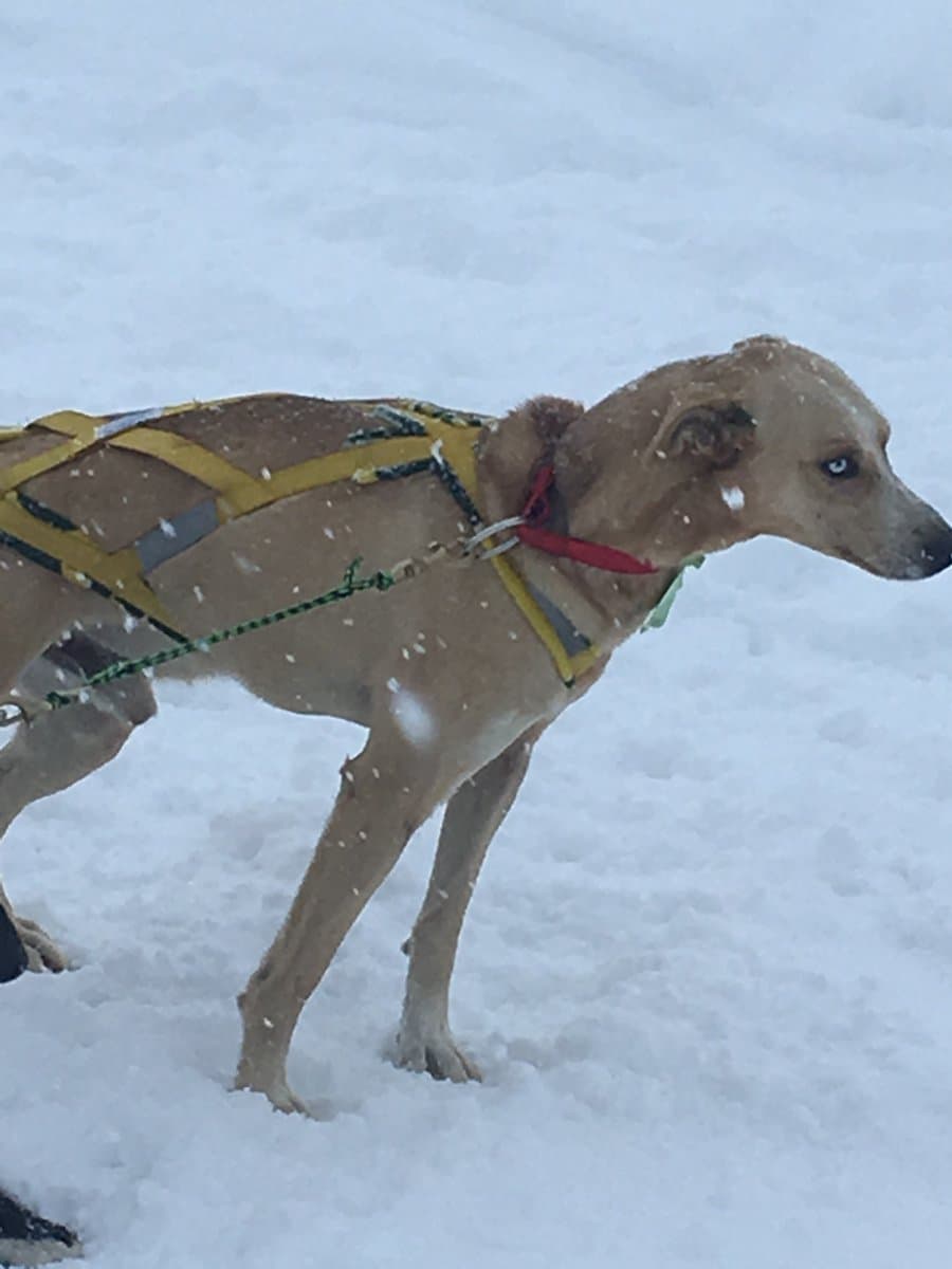
Four winter photographs from town, Skyline Drive, and Stage Stop.